Old Prune screenshots
This page shows screenshots from previous versions of GpsPrune. Screenshots of the current version are given in the current screenshots page.
Versions 17 to 22
- The basic screen of version 21, shown here under Debian Linux, with the menu and toolbar at the top, controls on the left, information on the right, the main map in the middle, and the altitude profile bottom-middle. The map images come from the Welsh OpenStreetMap tiles, hence it's "Caerdydd" and not Cardiff.
- The 3D window, showing an interactive model of the data including terrain and map.

(1) Linux system showing a Welsh map of Cardiff
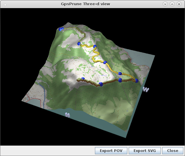
(2) 3d window
|
Versions 11, 12, 13, 16
The main layout hasn't changed very significantly since version 10, so here are just a few examples.
- The main window of version 12 showing a walk in the UK. The map images are from opencyclemap.org
- Full screen mode (no sidebars) and Hungarian language with version 12, running on Debian linux
- Windows XP in German
- Interactive 3D view
- OSX laptop (menu detached to top of screen)
- Version 13 on linux. The map images come from out-of-copyright Ordnance Survey maps (NPE) and are very detailed (but old). A photo has been loaded but not yet correlated with the track.

(1) Linux system showing data from a walk in the UK
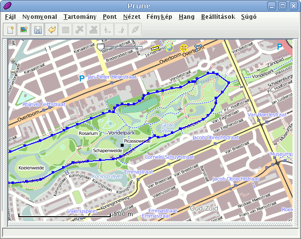
(2) Full screen mode in Hungarian
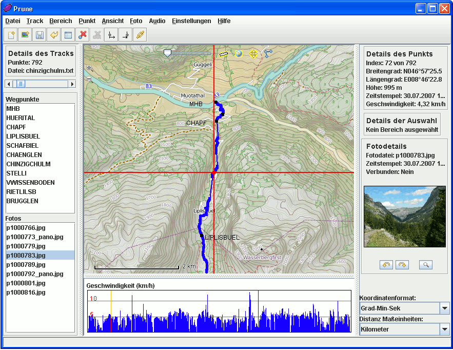
(3) Prune 12 on Windows XP in German
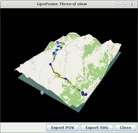
(4) Prune 16 showing the 3D view
(5) Mac OSX with opencyclemap maps

(6) Linux system showing data from a walk in the UK
|
Version 10
The following screenshots show examples from version 10, from May 2010.
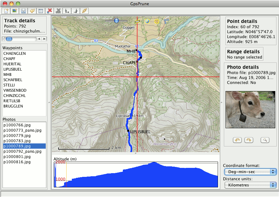
- The basic screen, shown here under Debian Linux, with the menu and toolbar at the top, controls on the left, information on the right, the main map in the middle, and the altitude profile bottom-middle. The map images come from opencyclemap.org and show contour lines as well as footpaths. A photo has been loaded but not yet correlated with the track.
- Prune running on an Apple laptop, using maps from cloudmade. Note that the menubar is not in the window, it's been moved to the top of the screen.
- Prune on Elive, with the language set to Polish.
- Prune on Microsoft XP, with the language set to German. The view at the bottom is set to show speeds rather than altitudes.
- Prune on Ubuntu Lucid Lynx, using the Debian package of Prune 10. The language is set to Swiss German and the maps of the Swiss ski resort are from openpistemap.org. The java runtime is OpenJDK.
- Prune on Microsoft Windows 7, showing a hike on Snowdon in Britain. The maps are again from opencyclemap.
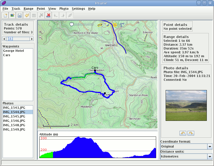
(1) Linux system showing data from a walk in the UK
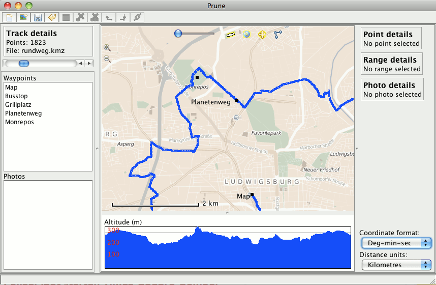
(2) Mac OSX with cloudmade maps
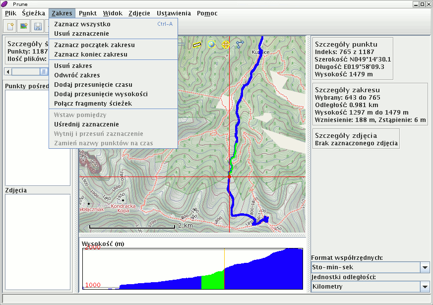
(3) Prune on Elive Linux using the Polish language
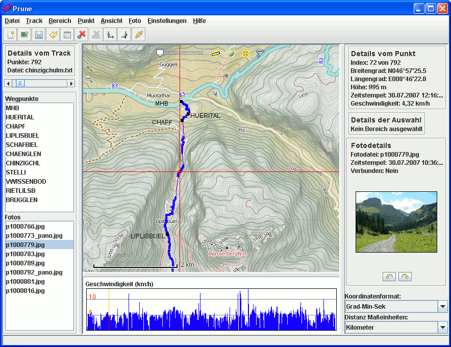
(4) Prune on Windows XP in German

(5) Prune on Ubuntu Lucid Lynx using OpenJDK
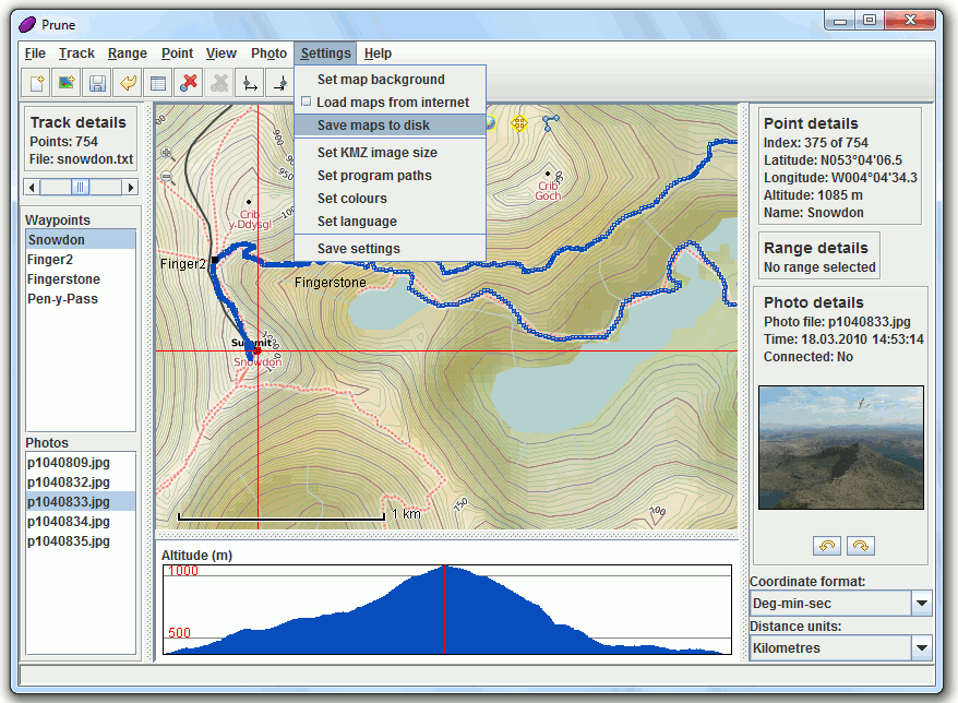
(6) Prune on Microsoft Windows 7
Version 9
The following screenshots show examples from version 9, from February 2010.
- The basic screen, shown here under Debian Linux, with the menu and toolbar at the top, controls on the left, information on the right, the main map in the middle, and the altitude profile bottom-middle. The map images come from opencyclemap.org and show contour lines as well as footpaths. A photo has been loaded but not yet correlated with the track.
- A Microsoft 7 system in German, using opencyclemap images with contour lines.
- Linux Mint showing tracks from snowboarding in Switzerland, overlaid on maps from openpistemap. The interface is set to Swiss German.
- Prune on Mandriva Linux using the new Japanese translations.
- Prune on Microsoft XP showing a Swiss hike.
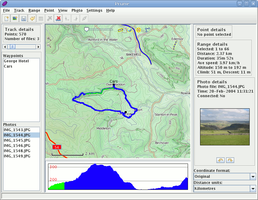
(1) Linux system showing data from a walk in the UK
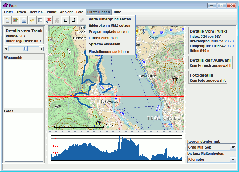
(2) Microsoft Windows 7 in German
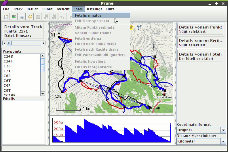
(3) Linux Mint with Swiss openpistemap.org maps

(4) Prune on Linux using the Japanese language
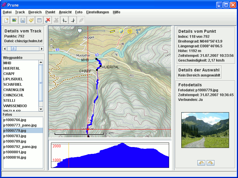
(5) Prune on Windows XP
Version 8
The following screenshots show examples from version 8, from September 2009.
- The basic screen, shown here under Linux, with the menu and toolbar at the top, controls on the left, information on the right, the main map in the middle, and the altitude profile bottom-middle. The map images come from opencyclemap.org and show contour lines as well as footpaths. A photo has been loaded but not yet correlated with the track.
- A Microsoft XP system in German showing a hike in Switzerland, using opencyclemap images with contour lines.
- Debian showing tracks from snowboarding in Switzerland, overlaid on maps from openpistemap. The interface is set to Swiss German.
- Prune on Mandriva 2010 using the Chinese language pack and Openstreetmap images from China.
- Prune on Microsoft XP using map images from the OSM Reitkarte.
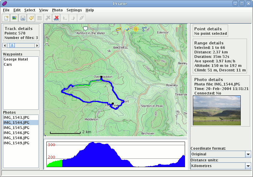
(1) Linux system showing data from a walk in the UK
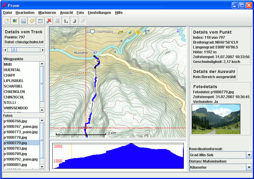
(2) Microsoft XP with cyclemap data from Switzerland

(3) Debian with Swiss openpistemap.org maps
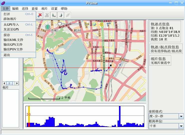
(4) Prune using the Chinese language

(5) Prune using German Reitkarte images
Version 7
The following screenshots show Prune version 7, from February 2009. They show the most common functions, as follows:
- The basic screen, shown here under Linux, with the menu and toolbar at the top, controls on the left, information on the right, the main map in the middle, and the altitude profile bottom-middle. The map images come from opencyclemap.org and show contour lines as well as footpaths. A photo has been loaded but not yet correlated with the track.
- Prune running on Mac OSX, using Openstreetmap images from Germany. A point is selected and its details are shown on the right, using the German language.
- A Microsoft XP system showing a hike in Switzerland, using opencyclemap images with contour lines.
- A live version of Suse linux with KDE 4.2, showing tracks on Madeira. The map images come from the Osma renderer. Photos have also been loaded and the selected one is shown on the right.
- Debian Etch showing tracks from snowboarding in Switzerland, overlaid on maps from openpistemap. The interface is set to Swiss German.
- A Microsoft Vista system set to use the Polish language, having loaded a kml file without altitudes.
- Prune on Microsoft XP showing tiles from the OSM Reitkarte.
- Prune using the Chinese language pack and Opencyclemap images from China.
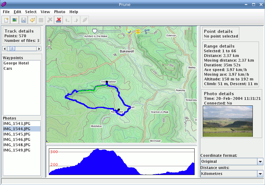
(1) Linux system showing data from a walk in the UK

(2) Mac OSX system using OSM maps from Germany

(3) Microsoft XP with cyclemap data from Switzerland
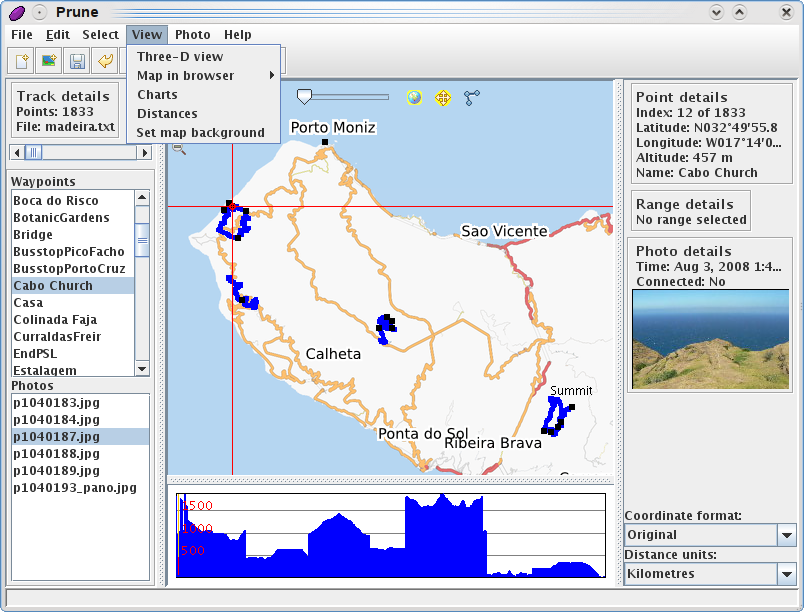
(4) Suse Linux with KDE 4.2
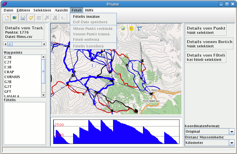
(5) Debian with openpistemap.org maps
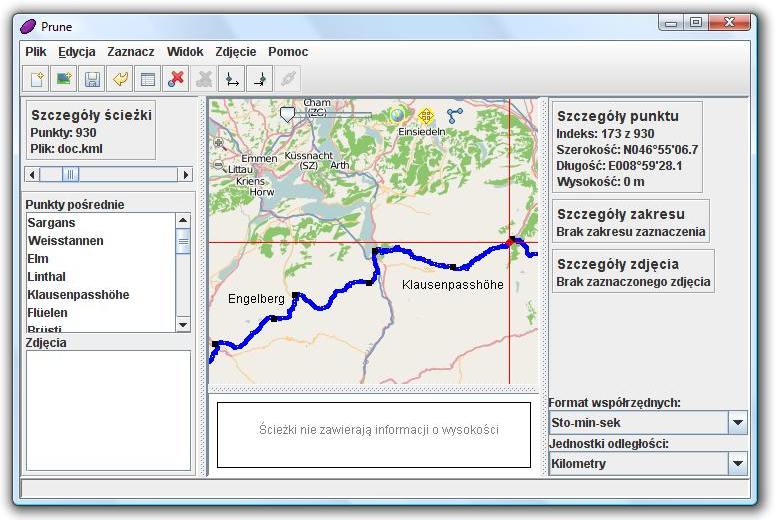
(6) Microsoft Vista system set to Polish language
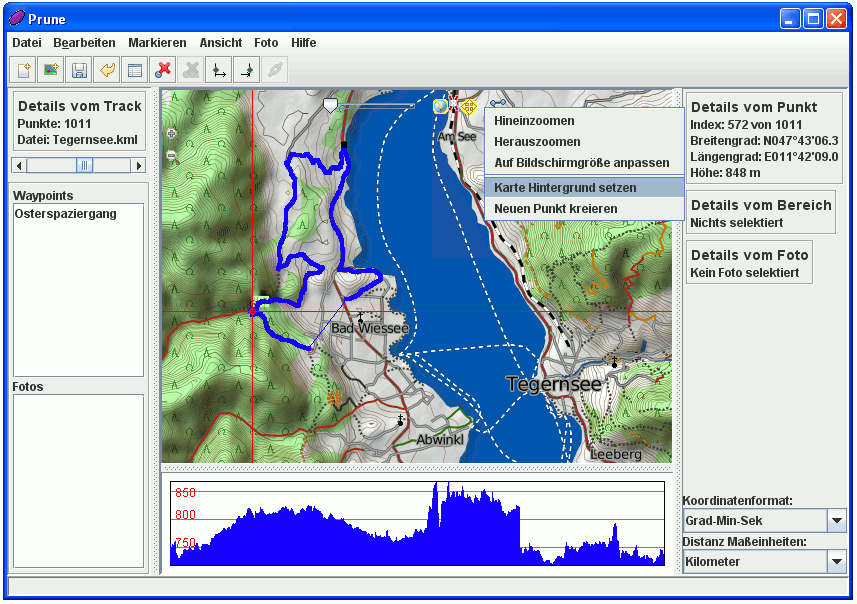
(7) Microsoft XP using Reitkarte images
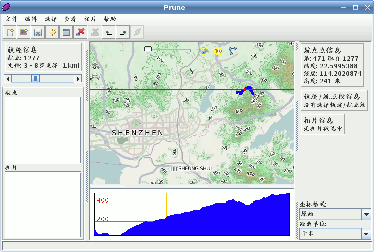
(8) Prune using the Chinese language
Version 6
The following screenshots show version 6 of Prune, from October 2008. They show the most common functions, as follows:
- The basic screen, shown here under Linux, with the menu and toolbar at the top, controls on the left, information on the right, the main map in the middle, and the altitude profile bottom-middle. The waypoints are shown as black dots on the map, with their names alongside. The window can of course be resized and the dividers moved. The map images come from openstreetmap.org.
- Another linux system but this time set to use German.
- Another linux system showing a coastline hike.
- A Windows XP system set to use the German language. All menus, dialogs, buttons and information panels reflect the chosen language.
- Output from Povray showing zoomed-in detail of the output.
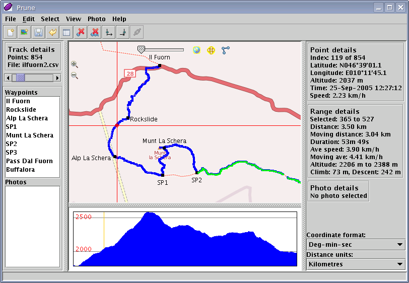
(1) Linux system showing map view and altitude profile
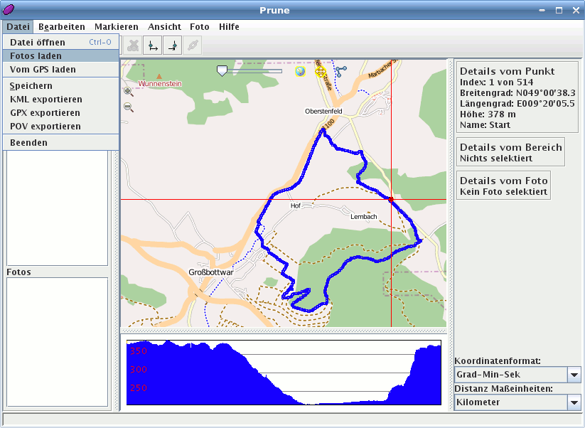
(2) Linux system using German language
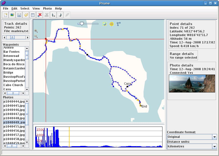
(3) Prune running on Debian Etch
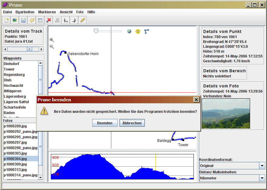
(4) Windows XP system set to German language
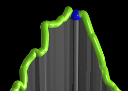
(5) Detail of Povray output
Version 5
The following are grabs from version 5 of Prune, from May 2008. The captions are given below with the corresponding numbers.
- The basic screen, shown here under Linux, with the menu and toolbar at the top, controls on the left, information on the right, the main map in the middle, and the altitude profile bottom-middle. The waypoints are shown as black dots on the map, with their names alongside. The window can of course be resized and the dividers moved.
- A Windows XP system set to use the German language. All menus, dialogs, buttons and information panels reflect the chosen language.
- Prune running under Sun Solaris. The range details show average speed, and the statusbar notifies that 2 operations have just been undone.
- Output from Povray after exporting the data. Also shows zoomed-in detail of the output.
- Prune's map window using openstreetmap data.
- Interoperability with Google Maps (in the browser).
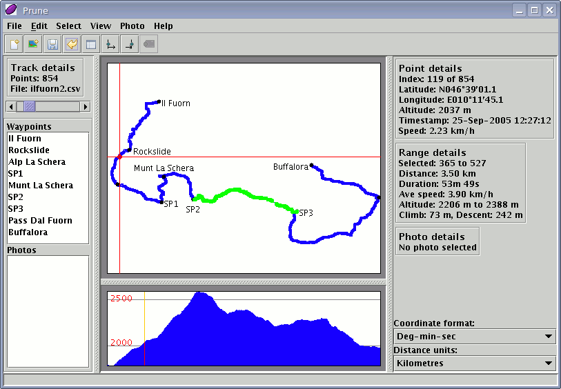
(1) Linux system showing top-down view and altitude profile
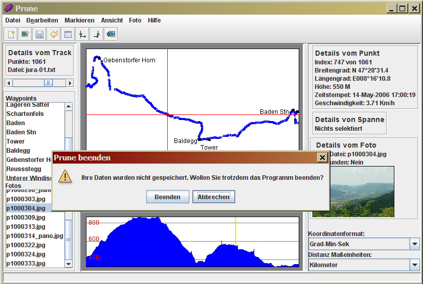
(2) Windows XP system set to German language

(3) Sun Solaris system
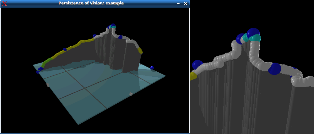
(4) Output of Povray including detail

(5) Prune map window
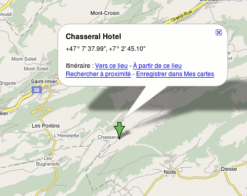
(6) Google maps output
Version 4
The following are grabs from version 4 of Prune, from January 2008. The captions are given below with the corresponding numbers.
- The basic screen, shown here under Linux, with the menu and toolbar at the top, controls on the left, information on the right, the main map in the middle, and the altitude profile bottom-middle. The waypoints are shown as black dots on the map, with their names alongside. The window can of course be resized and the dividers moved.
- A Windows XP system set to use the German language. All menus, dialogs, buttons and information panels reflect the chosen language.
- Prune running under Windows XP showing a photo thumbnail.
- Prune running under Sun Solaris.
- Prune running under Mac OSX.
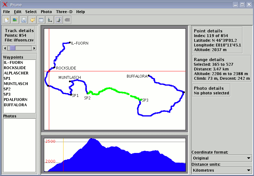
(1) Linux system showing top-down view and altitude profile
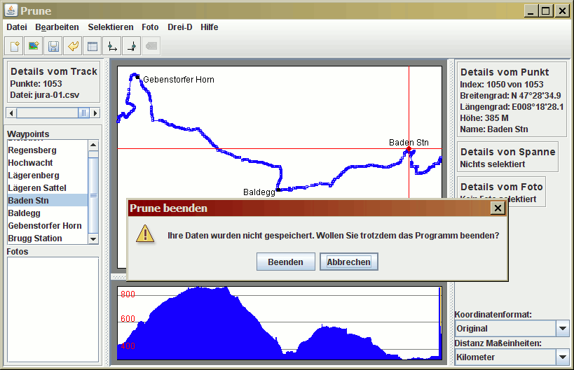
(2) Windows XP system set to German language

(3) Windows XP system showing photo thumbnail
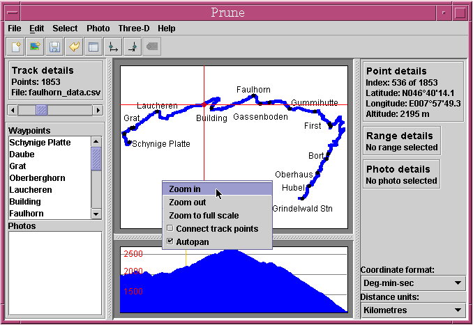
(4) Sun Solaris system
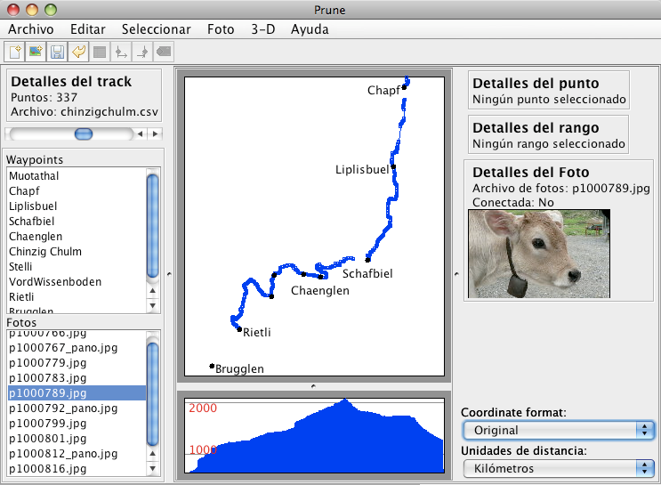
(5) Mac OSX system
Version 3
The following are grabs from version 3 of Prune, from August 2007. The captions are given below with the corresponding numbers.
- The basic screen, shown here under Linux, with the menu and toolbar at the top, controls on the left, information on the right, the main map in the middle, and the altitude profile bottom-middle. The waypoints are shown as black dots on the map, with their names alongside. The window can of course be resized and the dividers moved.
- A Windows XP system set to use the German language. All menus, dialogs, buttons and information panels reflect the chosen language.
- Prune running under Windows XP showing a photo thumbnail.
- Prune running under Sun Solaris.
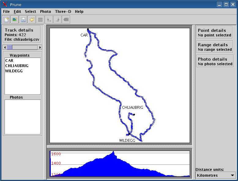
(1) Linux system showing top-down view and altitude profile
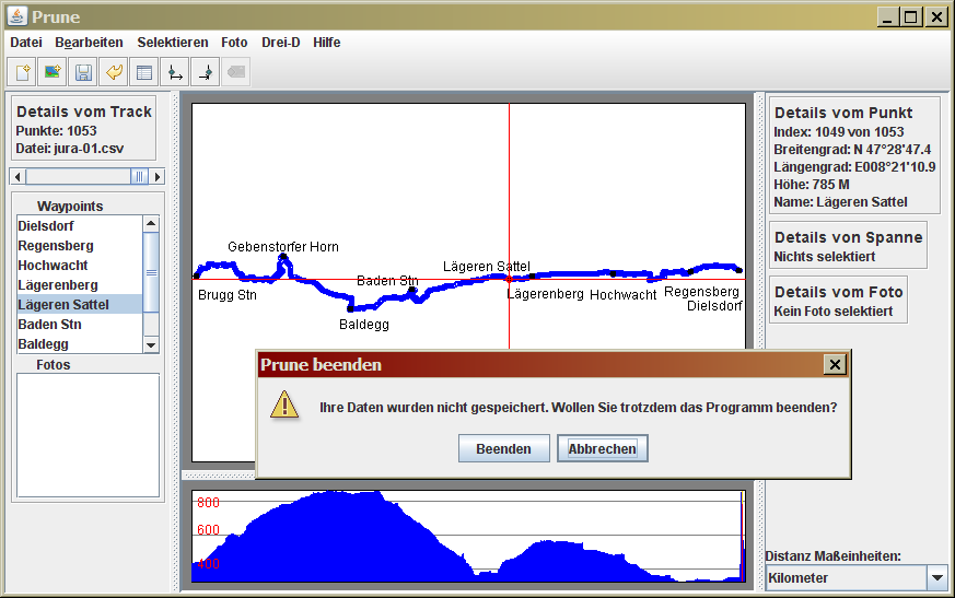
(2) Windows XP system set to German language

(3) Windows XP system showing photo thumbnail
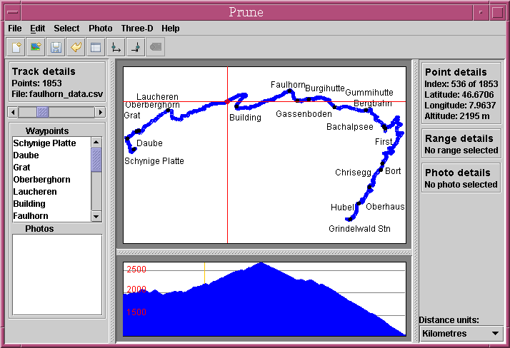
(4) Sun Solaris system
Version 2
The following are grabs from version 2 of Prune, from March 2007. The captions are given below with the corresponding numbers.
- The basic screen, shown here under Linux, with the menu at the top, controls on the left, the main map in the middle-right, and the altitude profile bottom-right. The waypoints are shown as black dots on the map, with their names alongside. The window can of course be resized and the dividers moved.
- A Windows XP system set to use the German language. All menus, dialogs, buttons and information panels reflect the chosen language.
- Prune running under Mac OSX.
- Prune running under Sun Solaris.
- Part of Google Earth's screen showing exported track data.
- Three-dimensional view using Java3D.
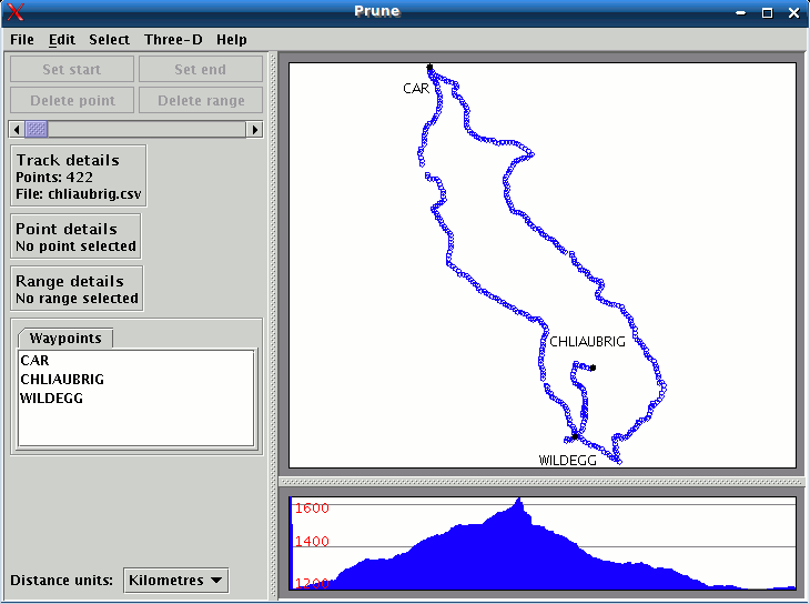
(1) Linux system showing top-down view and altitude profile
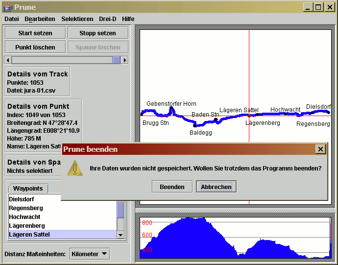
(2) Windows XP system set to German language
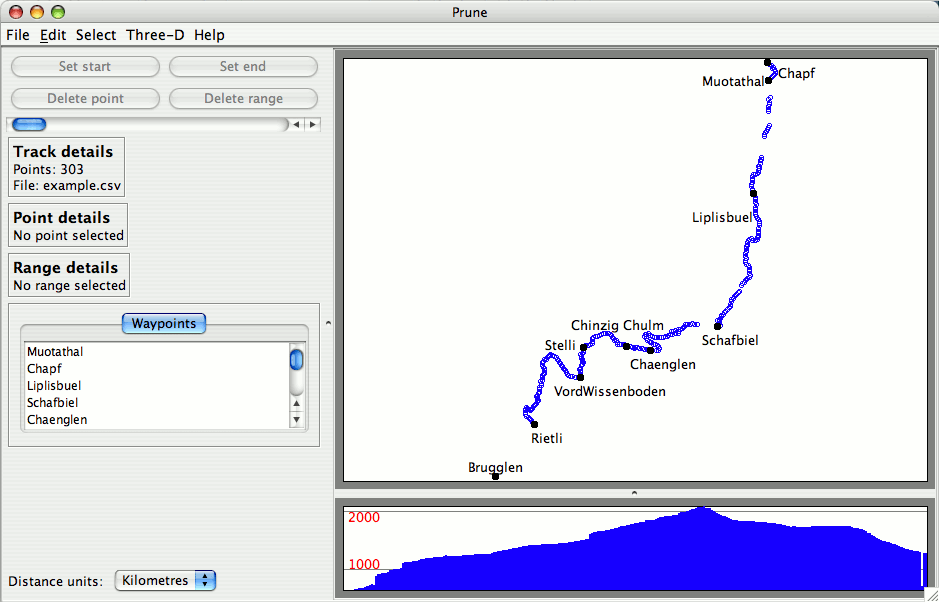
(3) Mac OSX system
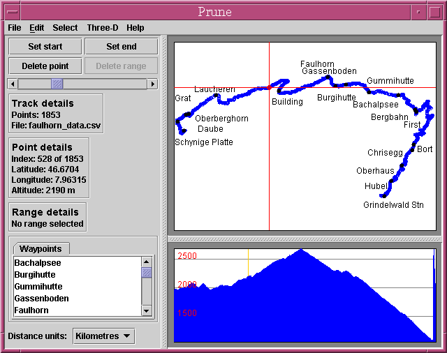
(4) Sun Solaris system
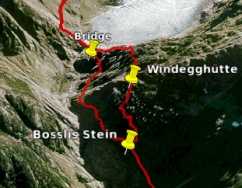
(5) Google Earth showing exported track
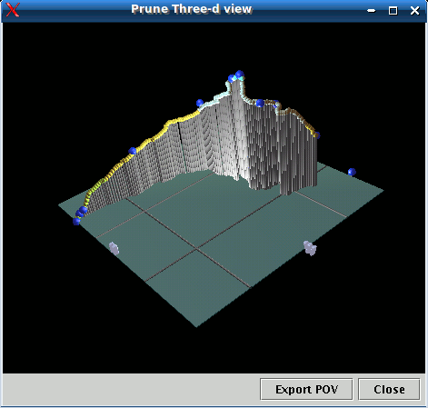
(6) 3d window
Version 1
The following are grabs from the very first released version of Prune, from September 2006. The captions are given below with the corresponding numbers.
- The basic screen, shown here under Linux, with the menu at the top, controls on the left, the main map in the middle-right, and the altitude profile bottom-right. The waypoints are shown as black dots on the map, with their names alongside. The window can of course be resized and the dividers moved.
- The same screen, but with a point selected (marked by the red cross-hairs, with its details shown on the left panel), and also a range selected (highlighted in green, with its details also shown on the left). The dropdown for "Distance units" determines whether the distance of the selection is shown in kilometers or miles.
- Another example of a track, this time using Windows XP, and displaying a track with timestamp information.
- A different machine, also using XP but set to use the German language. All menus, dialogs, buttons and information panels reflect the chosen language.
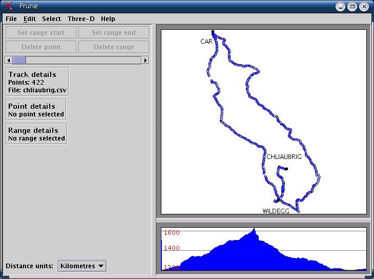
(1) Linux system showing top-down view and altitude profile
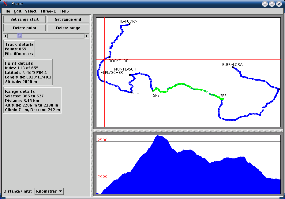
(2) Linux system showing selected point and range
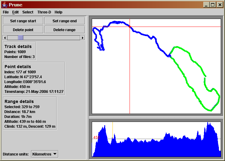
(3) Windows XP system showing timestamp information
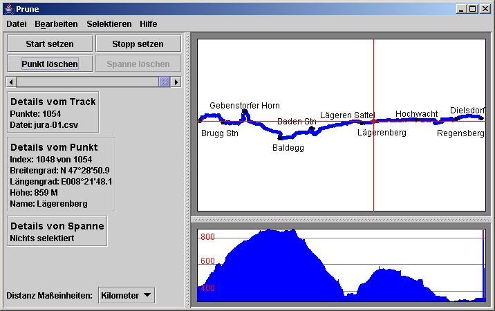
(4) Windows XP system set to German language

